
Geographic Information Systems (GIS) provide the capability to effectively create, edit, display, manage and analyze spatial data - data that is georeferenced to the earth. This course introduces the fundamental concepts and applications of GIS with a specific focus on environmental planning subjects. Emphasis is placed on developing hands-on expertise with world leading commercial GIS software (ArcGIS) for displaying and querying spatial data, manipulating tabular data, completing queries, developing charts and producing effective map layouts. Finally, this course incorporates digital data collection using mobile technologies.
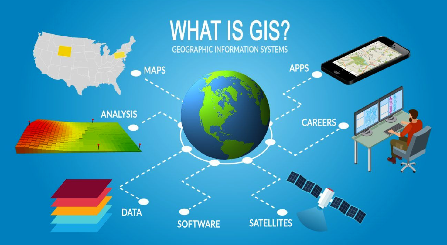
*course heading image from https://gisgeography.com/what-is-gis/
- Teacher: Tracey Harvey